Browse
···
Log in / Register


 8
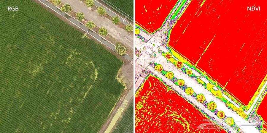
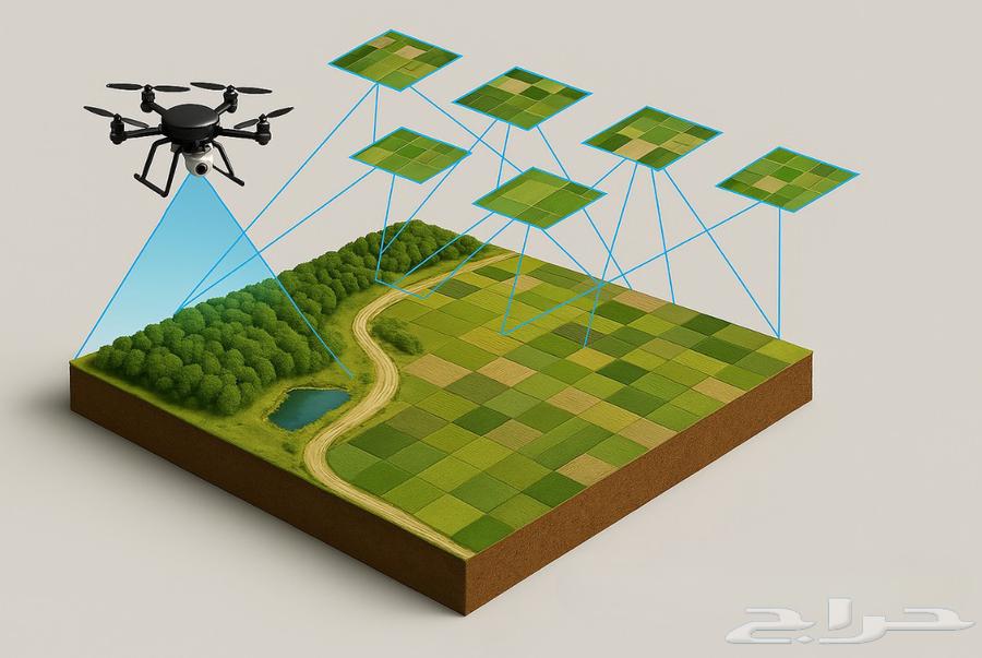
8Drone topographic survey services | Precision – Speed – Clarity 🚁📍 We offer professional services using unmanned aerial vehicles (Drones), including: Comprehensive site, quarry, and project surveys. High-accuracy stockpile and inventory volume calculations. Aerial farming imaging and plant growth analysis using four spectral bands (RGB, NDVI, RedEdge, NIR) to assess soil and crop conditions and detect weak areas. Creating three-dimensional models (3D Models) of sites and buildings for realistic detailed representation. Monthly aerial images and reports showing changes in production and inventory. 🎯 Save time and costs – precise monitoring of projects and farms – ready, reliable engineering reports. 📍 Service covering all regions of the Kingdom 💬 Contact us for a free site assessment