Browse

···
Log in / Register
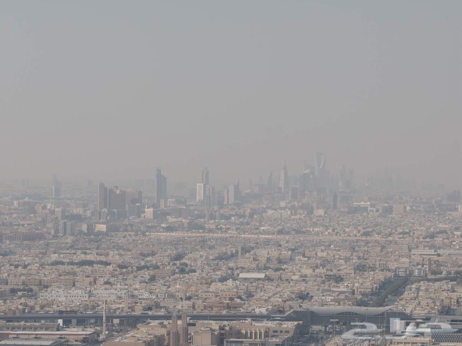
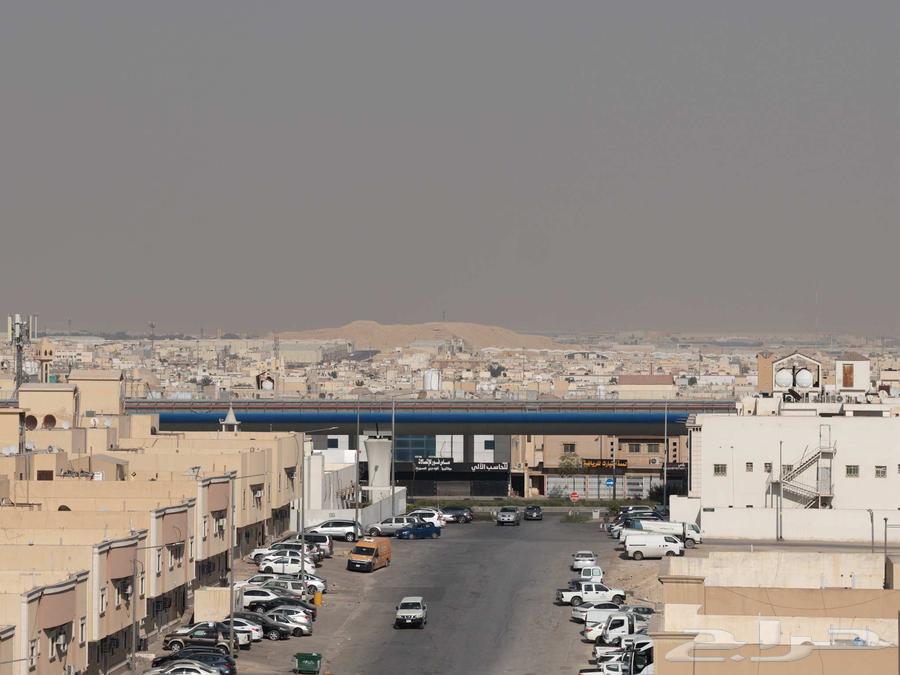
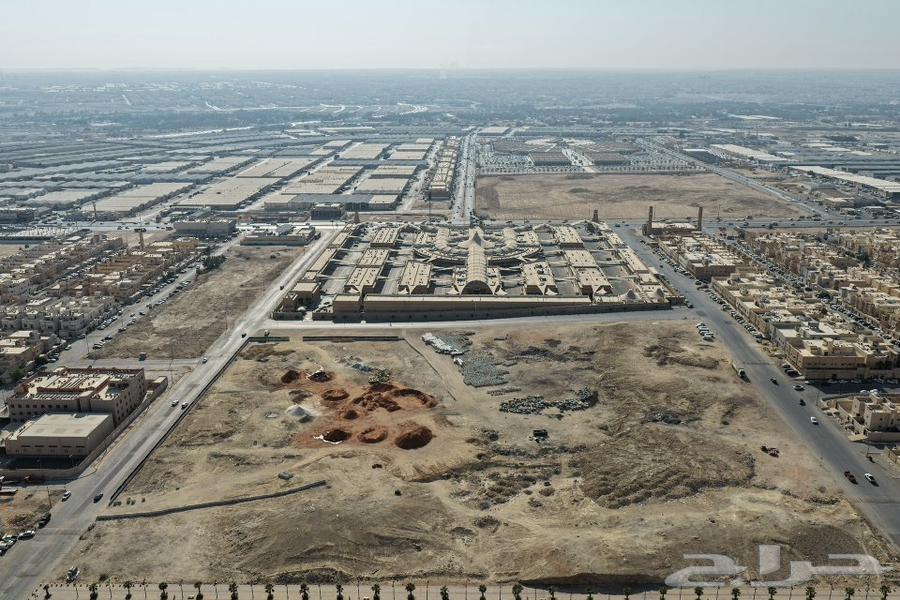
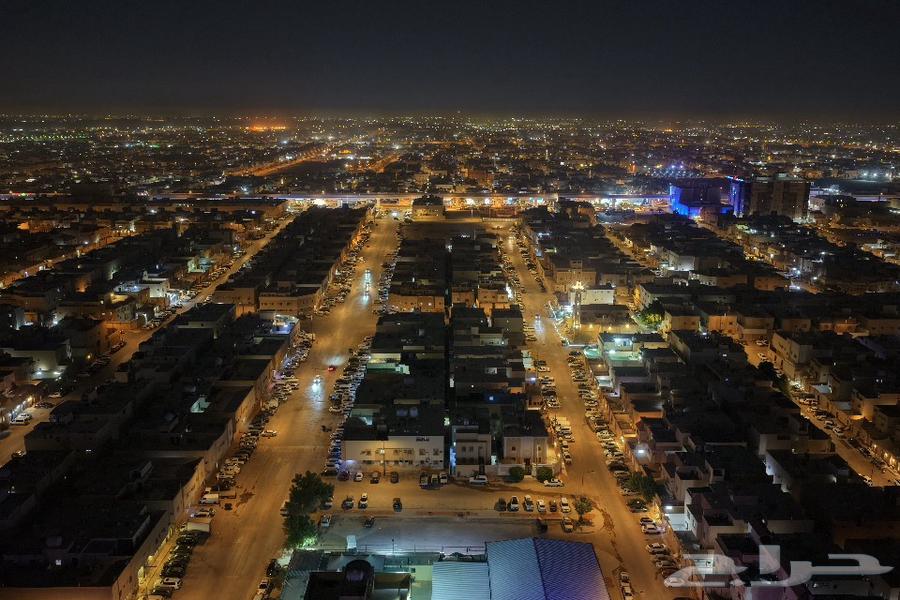
🎯 Professional drone aerial photography We document your properties, farms, auctions, ongoing construction projects, football fields, and lands from stunning angles. 📸 High-resolution photos and videos 🌍 Aerial surveying and photogrammetry services to create accurate maps and 3D models of sites. 📞 Contact us now to document your project